Darwin's Atoll Theory
The question of how coral atolls form puzzled naturalists for centuries. It was Charles Darwin who, during his voyage on HMS Beagle in the 1830s, first proposed the theory that elegantly explains their origin. Darwin observed three types of coral reef in the Pacific: fringing reefs that hug the shoreline of volcanic islands, barrier reefs that are separated from the shore by a lagoon, and atolls that form complete rings of reef with no island visible at the centre. He proposed that these three types represented stages in a single process.
Darwin reasoned that when a volcanic island first emerges from the sea, coral begins to grow around its shores, forming a fringing reef. As the volcanic island slowly subsides, either because the underlying crust cools and contracts or because the tectonic plate carrying it moves away from the hotspot that created it, the coral reef continues to grow upward to stay near the sunlit surface. A gap develops between the sinking island and the rising reef, creating a lagoon and transforming the fringing reef into a barrier reef. Eventually, the volcanic island sinks entirely below the sea surface, and only the ring of coral reef remains, enclosing a lagoon where the peak once stood. This is an atoll.
Darwin's theory was elegant but unproven in his lifetime. It was not until the 1950s, when deep drilling on Enewetak Atoll in the Pacific penetrated over a kilometre of coral limestone before hitting volcanic basalt, that the theory was conclusively confirmed. The Maldives sits on the same type of structure. Beneath the coral that forms the visible atolls lie hundreds of metres of accumulated coral limestone, and beneath that, the remnants of ancient volcanic mountains.
The Volcanic Foundation
The Maldivian atolls sit on the Chagos-Laccadive Ridge, an undersea volcanic ridge that stretches from the coast of India in the north to the Chagos Archipelago in the south. This ridge was created by volcanic activity as the Indian tectonic plate moved northward over a mantle hotspot, the same hotspot now believed to be beneath Reunion Island in the southwestern Indian Ocean. As the plate moved, the hotspot punched through the crust at successive points, creating a chain of volcanic peaks that grew, rose above the sea surface, and then began their slow descent.
The volcanism that created the foundation of the Maldives occurred roughly fifty to sixty million years ago, during the early Cenozoic era. At that time, the volcanic islands may have risen hundreds or even thousands of metres above sea level. But the plate kept moving, carrying the islands away from the heat source. The crust cooled, contracted, and subsided. Over tens of millions of years, the volcanic peaks sank, and the coral that had colonised their shallow flanks grew steadily upward, tracking the slowly rising sea surface and the slowly sinking foundation below.
Coral Growth Over Millions of Years
The rate of coral growth and the rate of volcanic subsidence had to remain in approximate balance for the atolls to survive. If the foundation sank too quickly, the coral would be carried below the depth at which it could photosynthesize and grow, and the reef would drown. If the foundation sank too slowly, the coral would simply keep pace and maintain a fringing reef rather than developing a lagoon. In the Maldives, conditions were favourable. The subsidence rate was slow enough, typically one to five centimetres per thousand years, for the coral to keep up, and the warm, clear tropical waters provided ideal conditions for reef growth.
Over millions of years, this process built up enormous thicknesses of coral limestone. Drilling studies in the Maldives have revealed that the coral cap extends to depths of over two thousand metres in some locations, representing an almost continuous record of reef growth stretching back tens of millions of years. This makes the Maldivian atolls among the oldest and thickest coral structures on Earth. The living reef that visitors see when they snorkel or dive is merely the thin, uppermost layer of a vast column of ancient coral that extends deep into the ocean floor.
The Ring Shape and Lagoons
The characteristic ring shape of an atoll is a direct legacy of the original volcanic island. Coral grew most vigorously around the perimeter of the island, where it had the best access to nutrients carried by ocean currents. As the volcano subsided, this peripheral reef grew upward while the centre, where the volcano's peak once stood, became a deepening lagoon. The result is the distinctive ring of reef enclosing a central lagoon that defines an atoll.
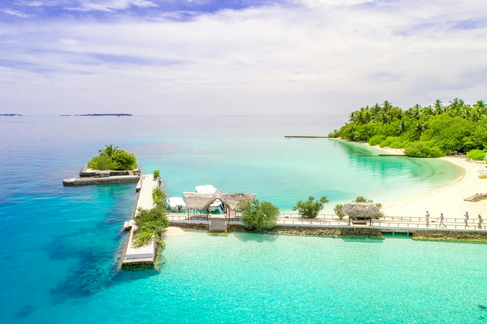
Maldivian atolls vary considerably in size. North Maalhosmadulu Atoll is roughly seventy kilometres across, while some of the smaller atolls are only ten to fifteen kilometres in diameter. The lagoons within these atolls are generally between thirty and eighty metres deep, far shallower than the ocean floor surrounding them, which drops to thousands of metres. The islands that dot the atoll rims are typically small, rarely more than a kilometre or two in length, and are concentrated on the windward and leeward edges of the reef where wave action deposits the most sediment.
Channels and Kandu
The reef rim of an atoll is not continuous. It is broken by channels, known in Dhivehi as kandu, that connect the inner lagoon with the open ocean. These channels are critical features of the atoll ecosystem. They allow tidal exchange, bringing nutrient-rich ocean water into the lagoon and flushing stagnant water out. The strong currents that flow through these channels create some of the best diving sites in the Maldives, as the nutrient-rich water attracts large pelagic fish, manta rays, and sharks.
The channels formed through a combination of processes. Some were created by erosion during periods of lower sea level, when the reef was exposed and rainwater carved gullies through the limestone. Others were maintained by the force of tidal currents that prevented coral from closing the gaps. The size and number of channels varies between atolls, and they play a significant role in determining the ecology of the lagoon and the health of the surrounding reef.
The Great Chagos Bank and Regional Context
The Maldives is part of a larger geological story. To the south, the Chagos-Laccadive Ridge continues to the Chagos Archipelago, which includes the Great Chagos Bank, the largest atoll structure in the world. The Great Chagos Bank is a submerged atoll roughly 160 kilometres long and 100 kilometres wide, most of which lies beneath the sea surface. It represents a later stage in the same process that created the Maldivian atolls, one where the reef did not fully keep pace with subsidence and partially drowned.
To the north of the Maldives, the Laccadive Islands off the coast of India sit on the same ridge and share the same geological origin. Together, the Laccadives, Maldives, and Chagos form a chain that records the passage of the Indian plate over the Reunion hotspot, with each group representing volcanism at different times and different stages of atoll development. The Maldives, sitting in the middle of this chain, happens to occupy the sweet spot where conditions for atoll formation and maintenance have been most consistently favourable over geological time.
Understanding how the atolls formed gives visitors a profound appreciation for what they are seeing. These are not just pretty islands. They are the visible tips of biological structures that took tens of millions of years to build, resting on the ghosts of ancient volcanoes that disappeared beneath the waves long before humans existed. Every grain of sand on a Maldivian beach was once part of a living organism, and the reef that surrounds each island is actively building the next generation of land. It is geology and biology operating on a timescale that dwarfs human history.